


Climate Predictions Realized
by Wesley Talbot, Yu Hsuan Liao
For this research project we explored how climate projection models are generated; extrapolating future outcomes from different data sets through various media, and imagining future inventions to accompany these “realities”. The purpose of this project is to create a more visceral relationship to the problem of climate change, and provide meaningful context to the information at hand.
We began by addressing the technical aspects of what organizations collect data and how. Following this with a brief look at the politics of cartography and how maps are “smoothed” or “exaggerated” by different algorithms to different ends.
We will touched upon the discussions surrounding the issues of predictions (in particular the accuracy or inaccuracy), keeping in mind that the end result should be to influence viewers into recognizing the importance of acting now and/or the complicit nature of certain groups ( climate deniers, Gov., businesses). There is a strong importance placed on finding resources/references that are from reputable sources (as opposed to belief confirming websites) while simultaneously acknowledging the biases that exist surrounding the concept of “reliable data”.
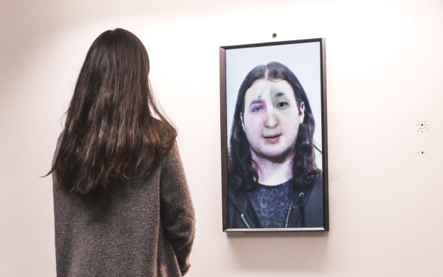
Our podcast is a narrative fiction based on the “realized” outcomes of our speculative futures, as determined by our found data. Among the topics included, we talk about our experiences in this new environment, and how we utilize some of the artefacts that we have created in response to these projections.
Through understanding the current data, and assessing the accuracy of past predictions, we have created artefacts that illustrate the data in more impactful ways. It is easy to see that some predictions are somber in nature, which is why this is such an important discussion to have now. We do not plan to shy away from the stark reality that our findings indicate. There is a general understanding of the urgency of our precarious climate situation, but currently the methods through which the public is informed do not convey the true tragedy that awaits. Our presentation, podcast, and artefacts illicit an emotional response as powerful as the cognitive understanding that the world will change in drastic ways.
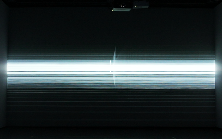
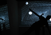
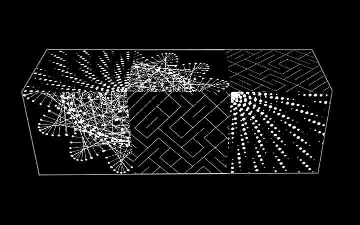
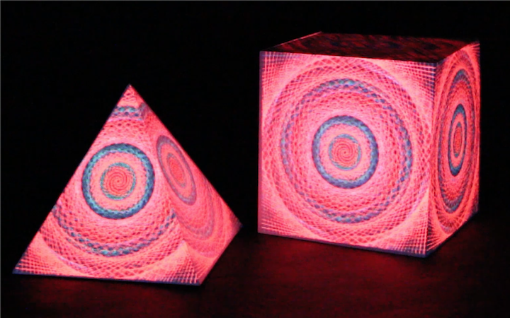
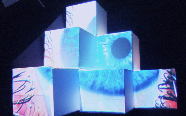
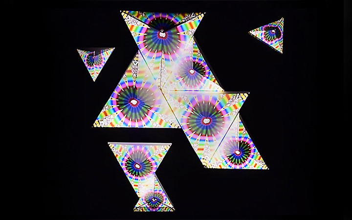
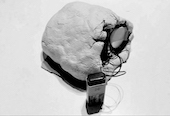
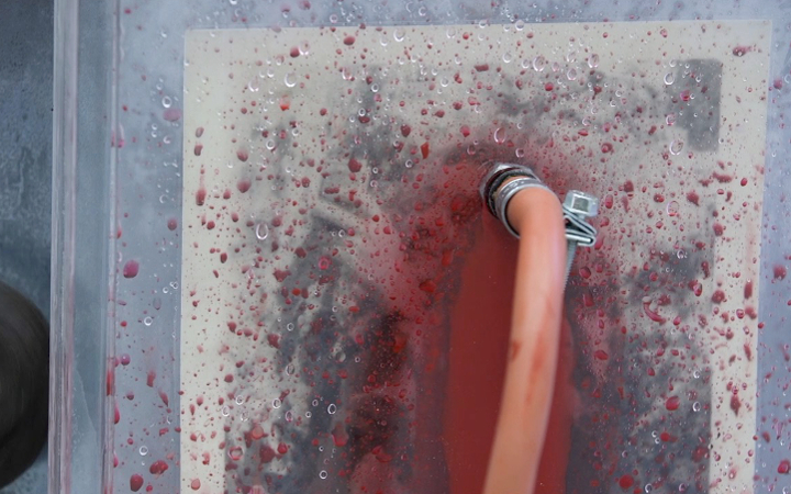
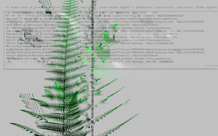
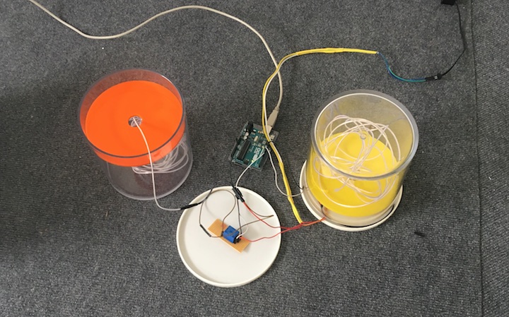
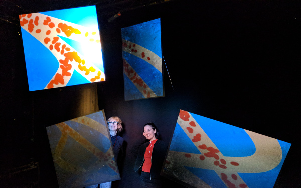
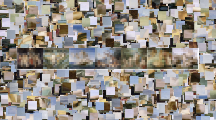
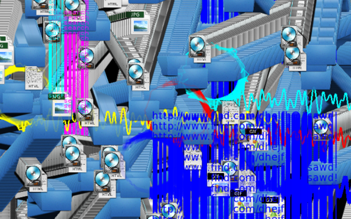
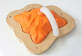
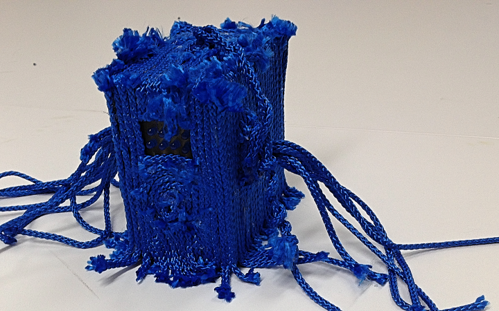
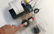
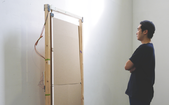
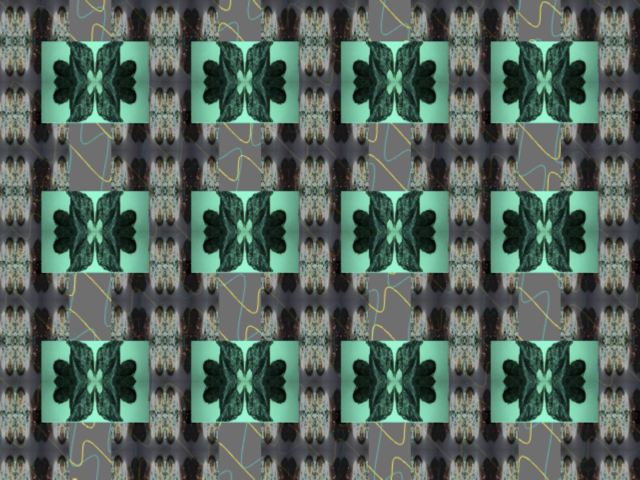
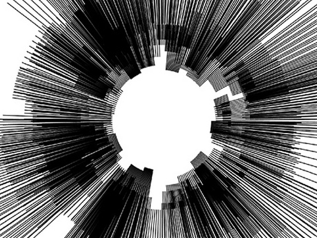
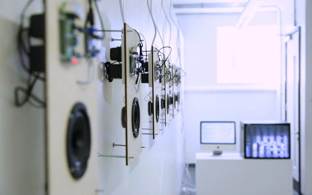
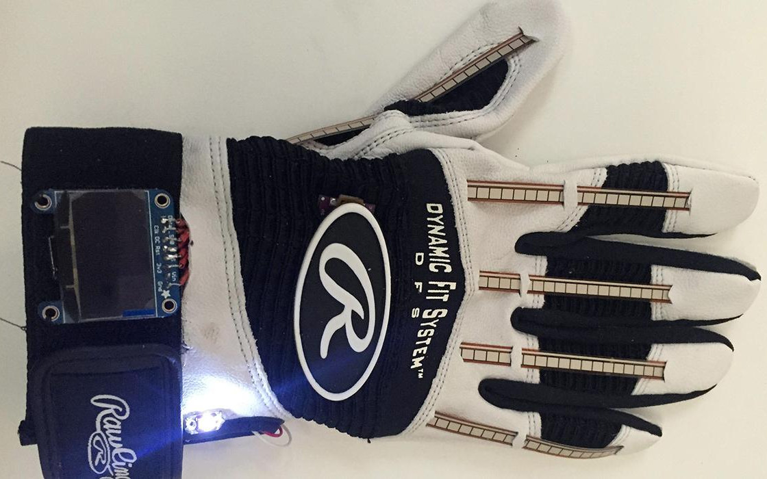
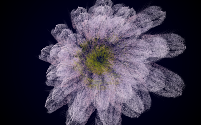
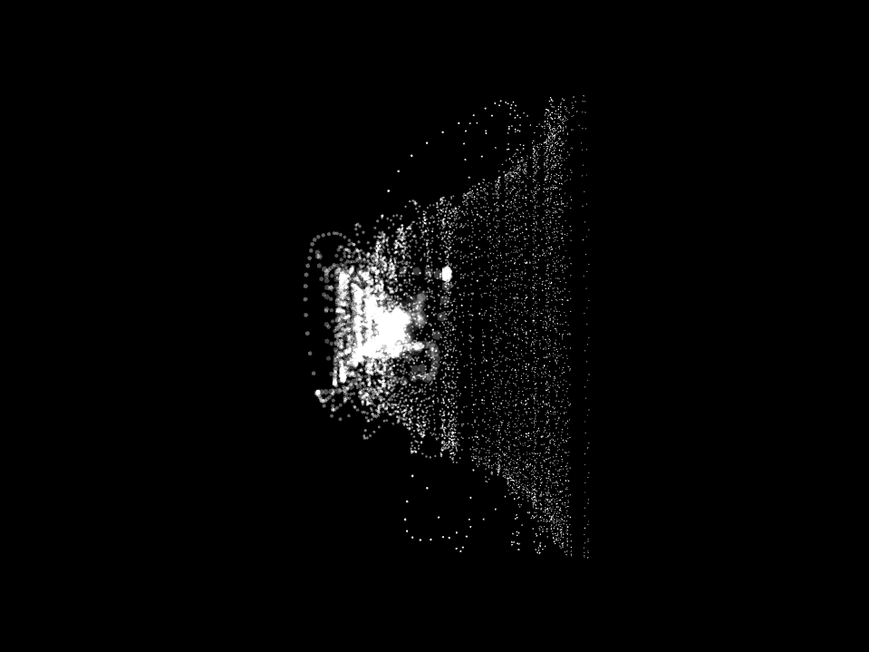
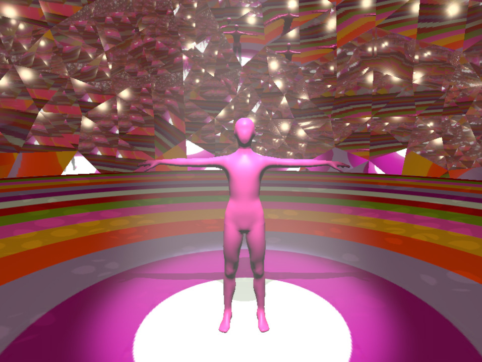
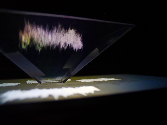
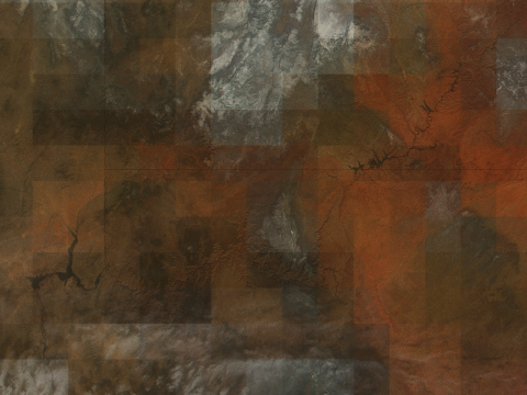
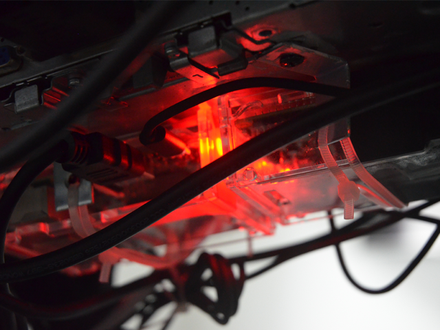
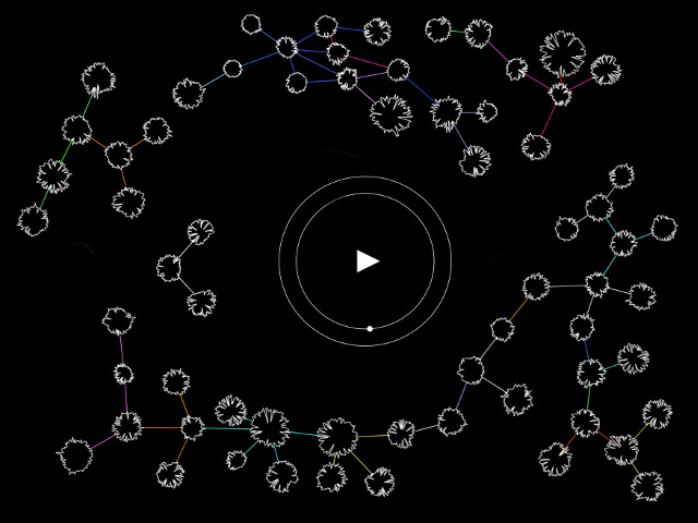
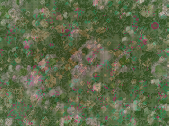
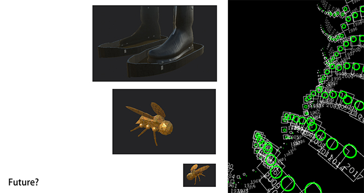
Through our research we sought to better understand how data is generated and what algorithms are used for these projects in an effort to integrate them into the production of artefacts that will give the viewer a better understanding of their implications. What we created were: digital maps that re-present the data in a novel way. Showcasing the accumulation of CO2 in the atmosphere as a hectic conglomeration rather than statistical figures. The effect of which is a frightening accumulation that drowns the underlying map (which is our planet). The other work generated from this project was the invention of items that would be useful in these realized futures. We created 3D models of these items so that the future they represent can be better envisioned.
Some of our questions included: Where does this data come from and by what method/algorithm is it processed? What data has been smoothed or exaggerated? To what degree should we trust the generated map that will influence our decision making and how we view our environment? What will the speculative map looks like if we used the same data sets but with different methodologies and algorithms? How has art been shaped by climate prediction models? What are other ways to present climate prediction data?
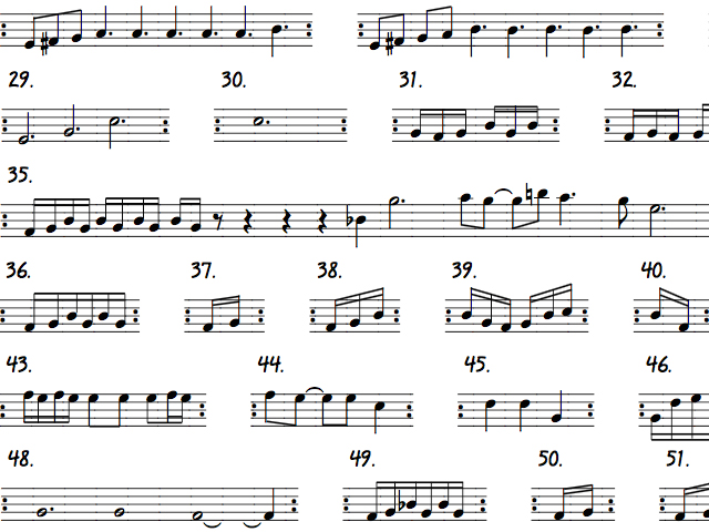
Speculative Future podcast
References
[1] Jennifer Gabrys, Helen Pritchard, Benjamin Barratt, "Just good enough data: Figuring data citizenships through air pollution sensing and data stories." Dec 1 2016
[2] Carnegie Ethics Online Monthly ColumnJuly, "Big Data & SocietyPolitics and Cartography: The Power of Deception through Distortion" , Nov 2018
[3] EVA SALINAS , "The politics of making maps", Nov 12, 2014
[4] Skye Thomas, "Artists Help Scientists Map the Climate Crisis" Oct 17, 2019
[5] Joseph Stromberg, "An Artist Imagines the Techno-Evolved Creatures of the Future" Dec 27, 2013
[6] Eugene Thacker, "The Global Genome: Biotechnology, Politics, and Culture", 2005
[7] Eugene Thacker, "Cosmic Pessimism", 2015
[8] Hito Steyerl, "In defense of the Poor Image" 2009
[9] Sven Lütticken, "World History and Earth Art", 2009
[10] Roger Fawcett-Tang, William Owen, "Mapping graphic navigational systems", 1957
[11] British Geological Survey, "Past climates - evidence"
[12] Rachel Nuwer, "What happens when the sea swallows a country?" 17th June 2015
[13] Nasa Earth observatory, "How Much More Will Earth Warm?" Jun 3, 2010
[14] IPCC, "Climate Change 2007: Working Group I: The Physical Science Basis"
[15] Oliver Milman, "Climate change: local efforts won't be enough to undo Trump's inaction, study says", 30 Aug 2018
[16] EVA SALINAS, "The politics of making maps", NOV 12, 2014
[17] Joseph Stromberg, "An Artist Imagines the Techno-Evolved Creatures of the Future", DEC 27, 2013
[18] Nicaragua Jon Swaine, "Google maps error sparks invasion of Costa Rica", Nov 2010
[19] Frank Jacobs, "The First Google Maps War", Feb 2012